Mineral Exploration Field Services
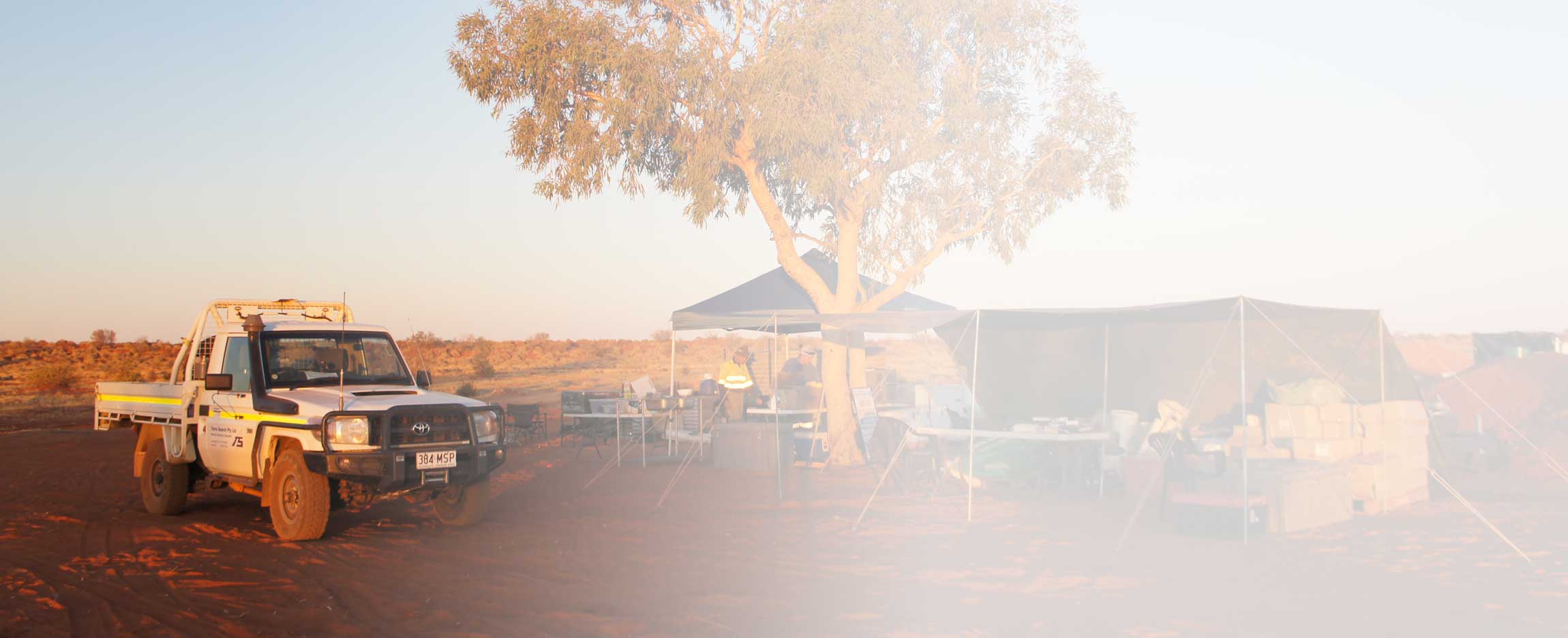
Over 30 years of experience makes our ability to support a mineral exploration program in Northern Australia second-to-none.
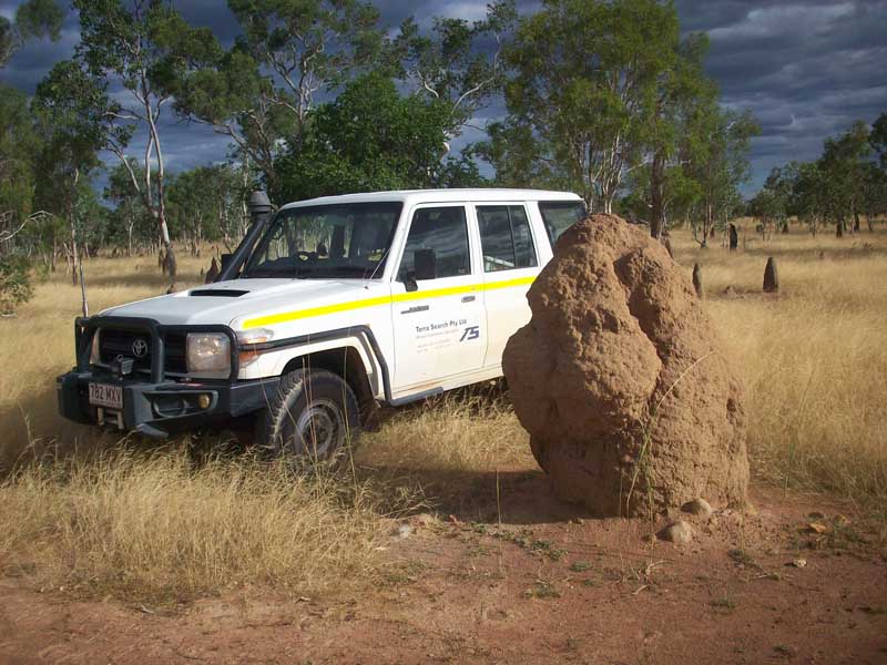
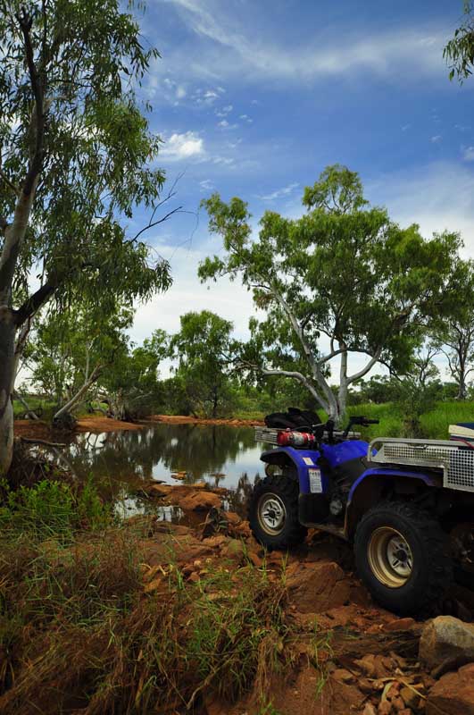
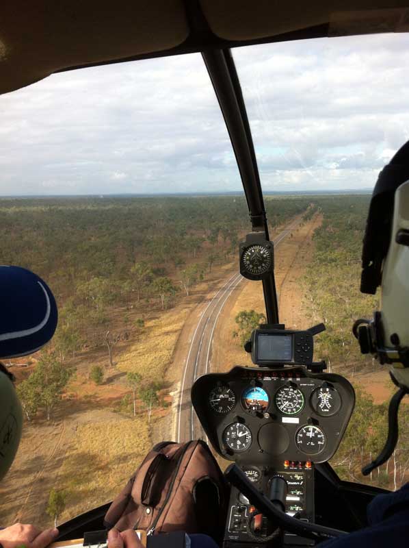
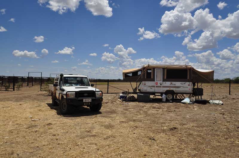
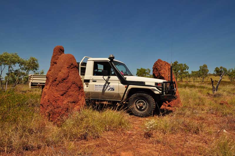
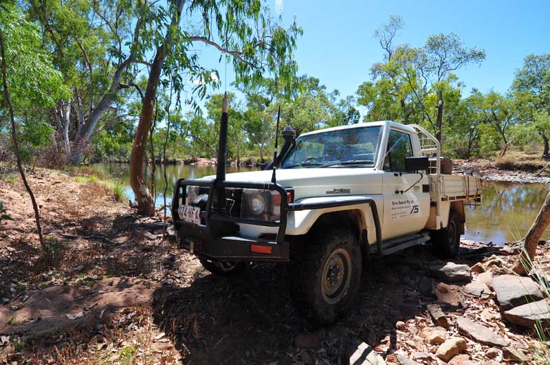
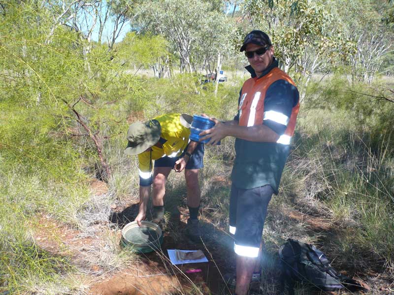
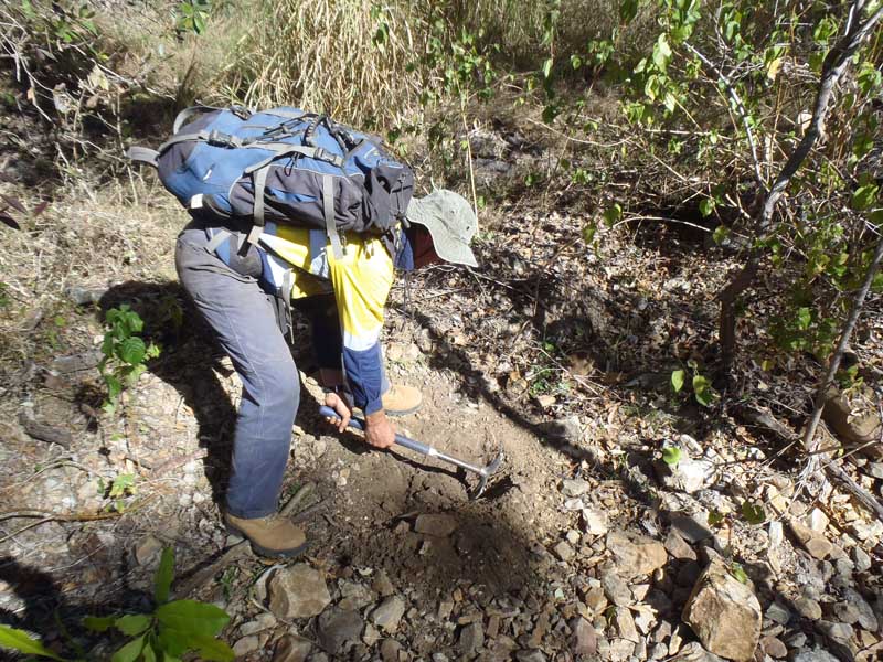
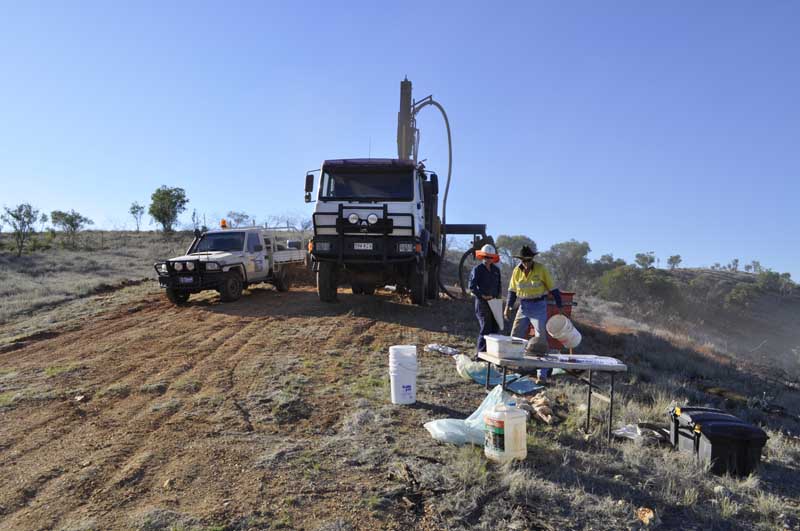
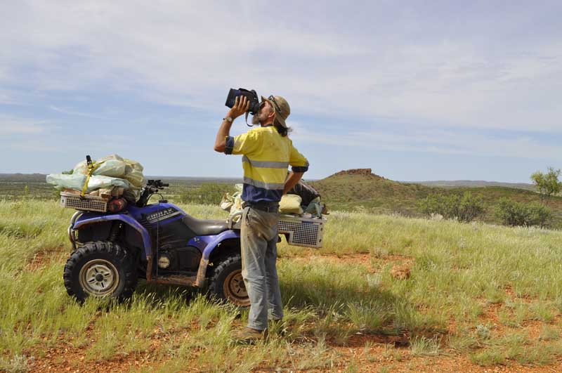
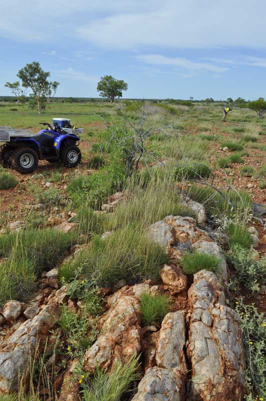
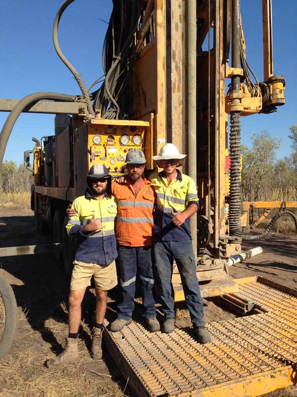
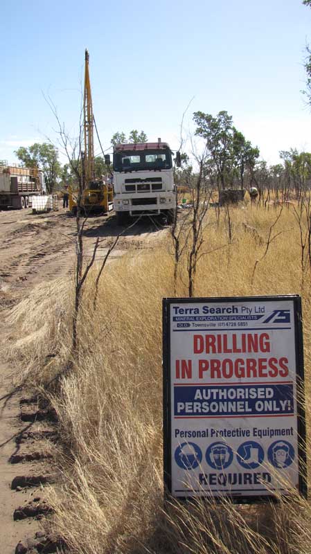
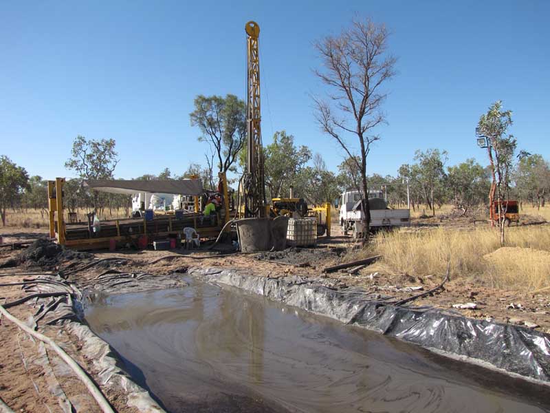
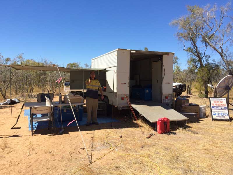
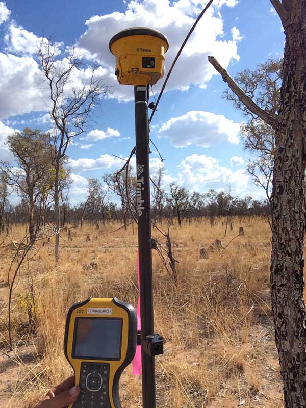
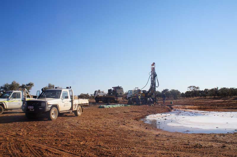
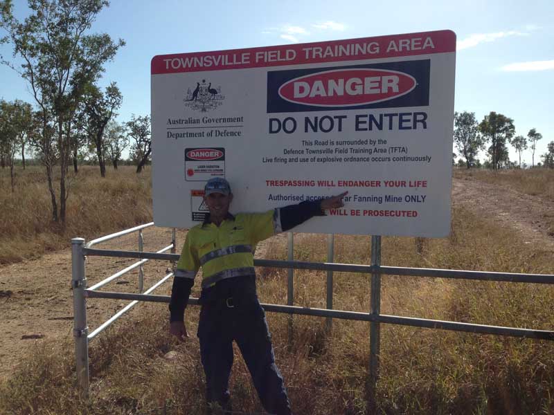
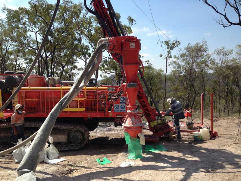
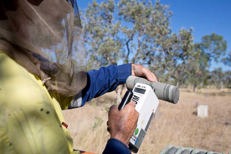
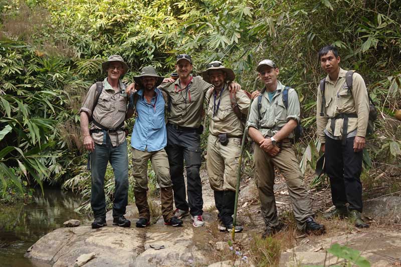

Terra Search also has access to and capability to manage specialised services not provided in house
Geological and Field Personnel
- Senior Geologists through to graduate geologists
- Senior Field technicians through to field assistants
- Experience in field reconnaissance and mapping
- Experience in RC and Diamond Drilling
- Experience working in remote areas
- Experience in surface sampling
Specialist Geographic Information System (GIS) Personnel
A geographic information system (GIS) is a system designed to capture, store, manipulate, analyze, manage, and present spatial or geographic data.
RC and Diamond Drilling
RC drilling is similar to air core drilling, in that the drill cuttings are returned to surface inside the rods. The drilling mechanism is a pneumatic reciprocating piston known as a “hammer” driving a tungsten-steel drill bit.
Surface Geochemistry Sampling
- Soil Sampling
- Grid Sampling
- Data Collection
- Till Sampling
Geochemical analyses
Geochemical Analysis is multi-element analysis where elements are determined to an intermediate level of accuracy.
Geological Secretarial & Clerical Services
We provide geological secretarial & clerical services that involve day-to-day office tasks, and geological data entry.
Ground Magnetic Surveys
- Productivity 20+ line-km / day
- Rapid data collection and analysis
- Onboard GPS receiver to eliminate expensive gridding procedures
- No environmental footprint
- Advanced processing
- Compact, robust, easy to assemble field kit
- Works together with a magnetic susceptibility reader
- TMI, DEM, RTP, and 1VD
- See some examples of our past surveys and processing capabilities
Unmanned Aerial Surveys
- High resolution aerial photography
- Generation of large scale geo-rectified orthomosaics and digital terrain models
- Aerial videography for scouting or promotional purposes
- Before and after aerial surveys are highly recommended for documenting environmental impacts of exploration activities, and thus minimising adverse legal/compensation disputes
- At flight height of 100m, resolution of up to 3.5 cm/pixel
- Using Trimble RTX DGPS system, can achieve absolute accuracies of 4cm for orthomosaics and DTM models.
- Productivity of 1.5km2/day at 100m flight height
- Rapid data collection and analysis
- No environmental footprint
- Advanced processing using state of the art “Pix4D” Software
- CASA qualified remote pilot
Gravity Surveys
Mineral exploration that measures the changes of rock density by looking at changes in gravity.
DGPS Surveys
Differential Global Positioning System (DGPS) is an enhancement to Global Positioning System that provides improved location accuracy, from the 15-meter nominal GPS accuracy to about 10 cm in case of the best implementations.
All surveys carried out by trained bush oriented crews


